


Urban Expansion Suitability Mapping Using Remote Sensing
Category: Tutorials
- views: 103
- date: 27 August 2025
- posted by: AD-TEAM

Urban Expansion Suitability Mapping Using Remote Sensing
Published 8/2025
MP4 | Video: h264, 1920x1080 | Audio: AAC, 44.1 KHz
Language: English | Size: 415.02 MB | Duration: 0h 48m
Analyzing Urban Growth Potential with Remote Sensing and Google Earth Engine
What you'll learn
Understand the fundamentals of remote sensing and how to apply satellite data for urban planning purposes.
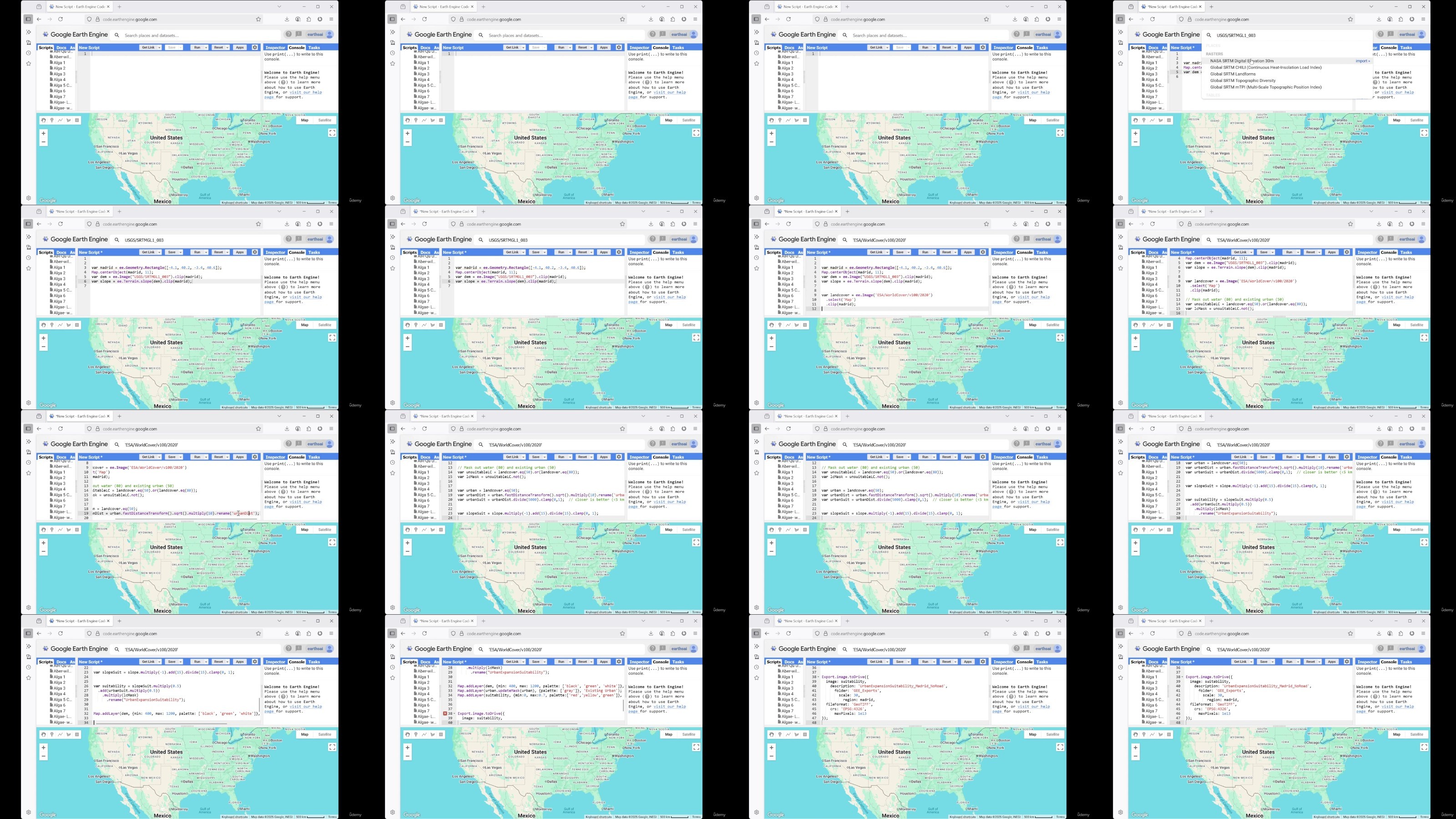
Learn how to process and analyze elevation, slope, and land cover data using Google Earth Engine (GEE).
Gain skills in mapping urban expansion suitability by combining multiple spatial criteria such as slope and proximity to existing urban areas.
Develop the ability to visualize, interpret, and export suitability maps for practical use in urban development and land use planning projects.
Requirements
No prior experience with Google Earth Engine is required — the course will guide you step-by-step.
Description
As cities grow, planning future development in a sustainable and data-informed manner is crucial. This course guides you through the process of urban expansion suitability mapping using remote sensing data and the powerful cloud-based platform Google Earth Engine (GEE).You'll begin by learning the basics of remote sensing—how satellites collect earth observation data and what types of sensors and bands are used in land monitoring. From there, you'll explore essential datasets such as digital elevation models (DEM) and ESA WorldCover land use classifications.Moving from theory to application, you will learn to identify areas unsuitable for expansion, like water bodies and steep slopes, and analyze proximity to existing infrastructure. Using multi-criteria analysis, you'll assign weights to key factors such as slope, urban proximity, and land cover to create a suitability model.The core of this course is hands-on implementation using Google Earth Engine (GEE). You'll write and modify code to visualize terrain, calculate slope suitability, mask out restricted land cover types, and produce a final suitability map. You'll also learn how to export your results in GIS-ready formats like GeoTIFF.-By the end of the course, you'll be equipped to:-Conduct spatial modeling for urban planning-Automate satellite data processing in GEE-Make informed decisions using remote sensing analyticsWhether you're a student, researcher, planner, or developer, this course empowers you with practical geospatial tools to support smart and sustainable urban growth.
Overview
Section 1: Introduction
Lecture 1 Lecture 1: Fundamentals of Remote Sensing
Lecture 2 Lecture 2: Remote Sensing for Site Suitability Mapping
Lecture 3 Lecture 3: Introduction to Google Earth Engine (GEE)
Lecture 4 Getting Started with the Google Earth Engine Interface
Lecture 5 Lecture 4: Implementation of Suitability Mapping for Urban Expansion in GEE
Lecture 6 Using the Inspector Tool in Google Earth Engine
Students, researchers and professionals in agriculture, environmental science, geography, or remote sensing looking to apply satellite data in real-world scenarios.
RapidGator
NitroFlare
DDownload
We need your support!
Make a donation to help us stay online

Bitcoin (BTC)
bc1q08g9d22cxkawsjlf8etuek2pc9n2a3hs4cdrld

Bitcoin Cash (BCH)
qqvwexzhvgauxq2apgc4j0ewvcak6hh6lsnzmvtkem

Ethereum (ETH)
0xb55513D2c91A6e3c497621644ec99e206CDaf239

Litecoin (LTC)
ltc1qt6g2trfv9tjs4qj68sqc4uf0ukvc9jpnsyt59u

USDT (ERC20)
0xb55513D2c91A6e3c497621644ec99e206CDaf239

USDT (TRC20)
TYdPNrz7v1P9riWBWZ317oBgJueheGjATm
Information |
|||
 |
Users of GUESTS are not allowed to comment this publication. | ||