


Hydrologic Modeling With Swat+ And Qgis (english Version)
Category: Tutorials
- views: 122
- date: 28 February 2025
- posted by: 0nelove
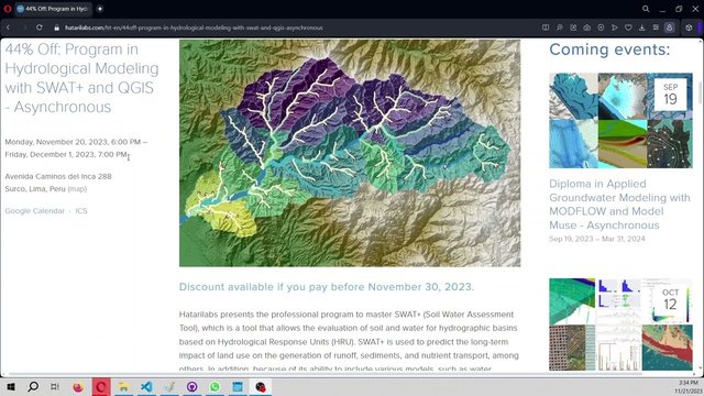
Hydrologic Modeling With Swat+ And Qgis (english Version)
Published 2/2025
Created by Ernesto Marchant
MP4 | Video: h264, 1280x720 | Audio: AAC, 44.1 KHz, 2 Ch
Level: Intermediate | Genre: eLearning | Language: English | Duration: 12 Lectures ( 2h 40m ) | Size: 3 GB
Hydrologic modeling using SWAT model
What you'll learn
Understanding what a hydrologic model is and what it is used for
Delineating a watershed or area of interest using SWAT+ and Qgis
Preparing and understanding the data used in the SWAT model
Estimate the water balance of a watershed with simulated data
Estimate the water balance of a basin with real data.
Requirements
Basic knowledge of hydrology
Basic knowledge of Qgis (vector file creation, rasters, datum or cartographic system definition, etc.)
Description
In this course you will learn what a hydrological model is and how it is useful. In the current hydroclimatic situation of water deficit, drought, and poor water management, it is essential to know how precipitation, temperatures, and anthropic activities have behaved in relation to the hydrological sustainability of natural and human ecosystems. In particular, you will learn how to use the SWAT (Soil and Water Assessment Tool) model in Qgis to estimate the water balance of a watershed or area of interest, i.e., the parameters of evapotranspiration (amount of water transpired by plants and water evaporated from soils), groundwater recharge (amount of water percolating into the aquifer), among others. This model is and has been used in numerous scientific publications throughout the world, so its validity is very significant within the community of academics and students of environmental, earth and engineering sciences.At the end of this course you will be able to know (quantitatively) how an area that catches your attention and/or is being affected by unfavorable situations, such as inadequate land use, low rainfall, etc., has behaved hydrologically. In addition, you will have the ability to make your own models, which you can use in your academic and/or professional activities. For example, you can collaborate in making decisions regarding communities affected by climate change.I sincerely hope you get the most out of this course that I have prepared with the best of intentions. See you in the virtual classroom!
Who this course is for
Students, enthusiasts and professionals in the environmental, earth and engineering sciences
Homepage
https://www.udemy.com/course/hydrologic-modeling-with-swat-and-qgis-english-version/Buy Premium From My Links To Get Resumable Support and Max Speed
https://rapidgator.net/file/8972e312949ac997870398beb50f9aa7/Hydrologic_modeling_with_SWAT__and_Qgis_(English_version).part4.rar.html
https://rapidgator.net/file/9ea196be869affa8f36cf13797b3f0d7/Hydrologic_modeling_with_SWAT__and_Qgis_(English_version).part3.rar.html
https://rapidgator.net/file/c4bed358b22227a520528b519225a984/Hydrologic_modeling_with_SWAT__and_Qgis_(English_version).part2.rar.html
https://rapidgator.net/file/d6c33b3b061acdc2cb38c4234198f20c/Hydrologic_modeling_with_SWAT__and_Qgis_(English_version).part1.rar.html
https://nitroflare.com/view/DD0FDDFCC46EC75/Hydrologic_modeling_with_SWAT__and_Qgis_%28English_version%29.part4.rar
https://nitroflare.com/view/0346391B87E514D/Hydrologic_modeling_with_SWAT__and_Qgis_%28English_version%29.part3.rar
https://nitroflare.com/view/4C79A9C8C8139A0/Hydrologic_modeling_with_SWAT__and_Qgis_%28English_version%29.part2.rar
https://nitroflare.com/view/008043CBAC85AEF/Hydrologic_modeling_with_SWAT__and_Qgis_%28English_version%29.part1.rar
https://rapidgator.net/file/8972e312949ac997870398beb50f9aa7/Hydrologic_modeling_with_SWAT__and_Qgis_(English_version).part4.rar.html
https://rapidgator.net/file/9ea196be869affa8f36cf13797b3f0d7/Hydrologic_modeling_with_SWAT__and_Qgis_(English_version).part3.rar.html
https://rapidgator.net/file/c4bed358b22227a520528b519225a984/Hydrologic_modeling_with_SWAT__and_Qgis_(English_version).part2.rar.html
https://rapidgator.net/file/d6c33b3b061acdc2cb38c4234198f20c/Hydrologic_modeling_with_SWAT__and_Qgis_(English_version).part1.rar.html
https://nitroflare.com/view/DD0FDDFCC46EC75/Hydrologic_modeling_with_SWAT__and_Qgis_%28English_version%29.part4.rar
https://nitroflare.com/view/0346391B87E514D/Hydrologic_modeling_with_SWAT__and_Qgis_%28English_version%29.part3.rar
https://nitroflare.com/view/4C79A9C8C8139A0/Hydrologic_modeling_with_SWAT__and_Qgis_%28English_version%29.part2.rar
https://nitroflare.com/view/008043CBAC85AEF/Hydrologic_modeling_with_SWAT__and_Qgis_%28English_version%29.part1.rar
We need your support!
Make a donation to help us stay online

Bitcoin (BTC)
bc1q08g9d22cxkawsjlf8etuek2pc9n2a3hs4cdrld

Bitcoin Cash (BCH)
qqvwexzhvgauxq2apgc4j0ewvcak6hh6lsnzmvtkem

Ethereum (ETH)
0xb55513D2c91A6e3c497621644ec99e206CDaf239

Litecoin (LTC)
ltc1qt6g2trfv9tjs4qj68sqc4uf0ukvc9jpnsyt59u

USDT (ERC20)
0xb55513D2c91A6e3c497621644ec99e206CDaf239

USDT (TRC20)
TYdPNrz7v1P9riWBWZ317oBgJueheGjATm
Information |
|||
 |
Users of GUESTS are not allowed to comment this publication. | ||