


Photogrammetry With Drones: In Mapping Technology (2018)
Category: Tutorials
- views: 107
- date: 13 December 2024
- posted by: AD-TEAM

Photogrammetry With Drones: In Mapping Technology (2018)
WEBRip | English | MP4 | 1280 x 720 | AVC ~1215 kbps | 30 fps
AAC | 128 Kbps | 48.0 KHz | 2 channels | 1h 57min | 894.3 MB
Genre: Video Tutorial / Photographing
Photogrammetry uses measurements from photographs by analyzing points on an object and creates a 3D model using this information. As an integrated package, this online course provides valuable learning material on software like MicroStation, LPS (Leica Photogrammetry Suit) and PRO600, TerraModel.
Users can leverage very high detail of output through precise input information from aerial photographs. Course Participants will also identify concepts on Stereo Compilation (3D), which serves as a core process for photogrammetry.
After successful completion of this course, students will be able to-
I. Use their skills for MicroStation as Mapping software for Photogrammetry
II. Use their skills for PRO600-PROCart as a Photogrammetry software.
III. Compile planimetric features & DTM using 3D environment in LPS
IV. Construct Contours, Shaded Surfaces & TIN using TerraModel in Photogrammetry
V. Demonstrate work flow followed in Photogrammetry projects
also You can watch my other interesting: Photographing-posts
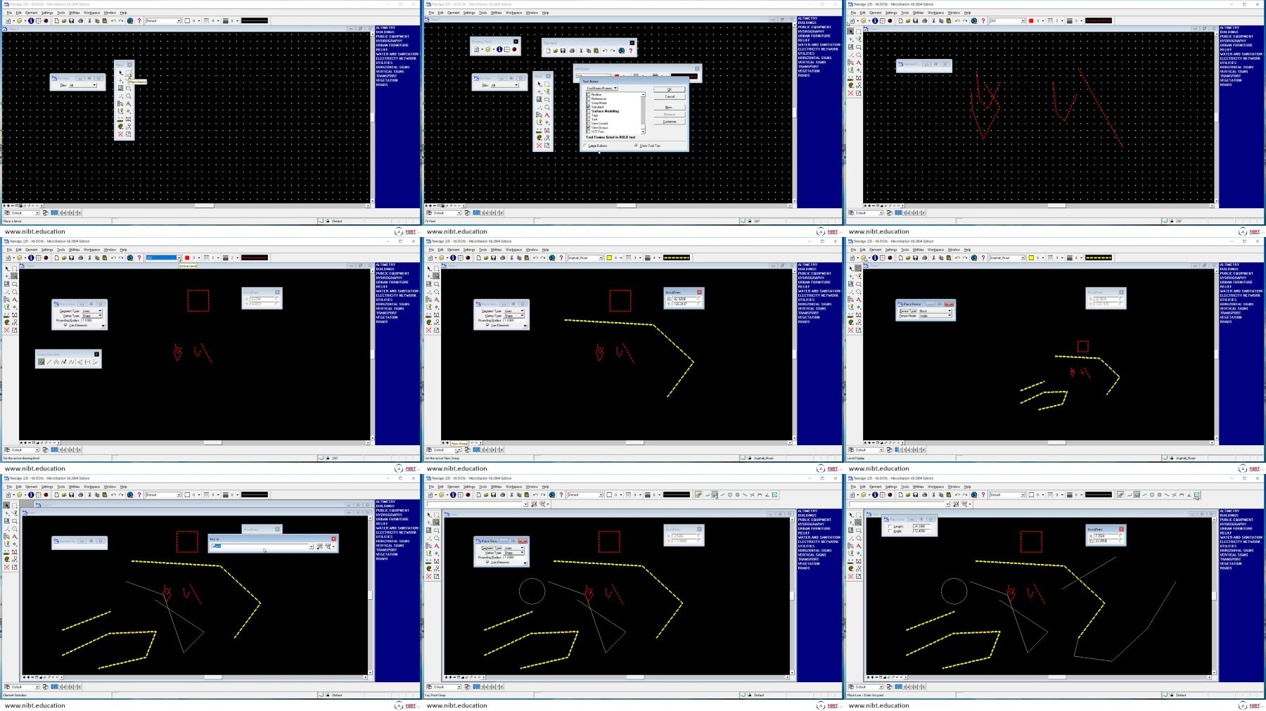
Screenshots
Exclusive eLearning Videos ← add to bookmarks
We need your support!
Make a donation to help us stay online

Bitcoin (BTC)
bc1q08g9d22cxkawsjlf8etuek2pc9n2a3hs4cdrld

Bitcoin Cash (BCH)
qqvwexzhvgauxq2apgc4j0ewvcak6hh6lsnzmvtkem

Ethereum (ETH)
0xb55513D2c91A6e3c497621644ec99e206CDaf239

Litecoin (LTC)
ltc1qt6g2trfv9tjs4qj68sqc4uf0ukvc9jpnsyt59u

USDT (ERC20)
0xb55513D2c91A6e3c497621644ec99e206CDaf239

USDT (TRC20)
TYdPNrz7v1P9riWBWZ317oBgJueheGjATm
Information |
|||
 |
Users of GUESTS are not allowed to comment this publication. | ||