


Urban High-Resolution Remote Sensing Algorithms and Modeling
Category: eBooks
- views: 216
- date: 16 April 2023
- posted by: AD-TEAM
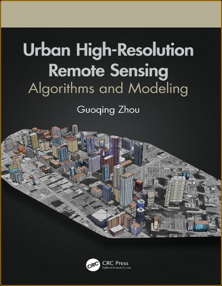
pdf | 126.03 MB | English | Isbn: B08P52X1KS | Author: Guoqing Zhou | Year: 2020
Description:
With urbanization as a global phenomenon, there is a need for data and information about these terrains. Urban remote sensing techniques provide critical physical input and intelligence for preparing base maps, formulating planning proposals, and monitoring implementations. Likewise these methodologies help with understanding the biophysical properties, patterns, and process of urban landscapes, as well as mapping and monitoring urban land cover and spatial extent.
Advanced sensor technologies and image processing methodologies such as deep learning, data mining, etc., facilitate the wide applications of remote sensing technology in urban areas. This book presents advanced image processing methods and algorithms focused on three very important roots of urban remote sensing: 3D urban modelling using different remotely sensed data, urban orthophotomap generation, and urban feature extraction, which are also today's real challenges in high resolution remote sensing. Data generated by remote sensing, with its repetitive and synoptic viewing and multispectral capabilities, constitutes a powerful tool for mapping and monitoring emerging changes in the city's urban core, as well as in peripheral areas.
Features:
Provides advances in emerging methods and algorithms in image processing and technology
Uses algorithms and methodologies for handling high-resolution imagery from a ground sampling distance (GSD) less than 1.0 meter
Focuses on 3D urban modelling, orthorectification methodologies, and urban feature extraction algorithms from high-resolution remotely sensed imagery
Demonstrates how to apply up-to-date techniques to the problems identified and how to analyze research results
Presents methods and algorithms for monitoring, analyzing, and modeling urban growth, urban planning, and socio-economic developments
In this book, readers are provided with valuable research studies and applications-oriented chapters in areas such as urban trees, soil moisture mapping, city transportation, urban remote sensing big data, etc.
Advanced sensor technologies and image processing methodologies such as deep learning, data mining, etc., facilitate the wide applications of remote sensing technology in urban areas. This book presents advanced image processing methods and algorithms focused on three very important roots of urban remote sensing: 3D urban modelling using different remotely sensed data, urban orthophotomap generation, and urban feature extraction, which are also today's real challenges in high resolution remote sensing. Data generated by remote sensing, with its repetitive and synoptic viewing and multispectral capabilities, constitutes a powerful tool for mapping and monitoring emerging changes in the city's urban core, as well as in peripheral areas.
Features:
In this book, readers are provided with valuable research studies and applications-oriented chapters in areas such as urban trees, soil moisture mapping, city transportation, urban remote sensing big data, etc.

We need your support!
Make a donation to help us stay online

Bitcoin (BTC)
bc1q08g9d22cxkawsjlf8etuek2pc9n2a3hs4cdrld

Bitcoin Cash (BCH)
qqvwexzhvgauxq2apgc4j0ewvcak6hh6lsnzmvtkem

Ethereum (ETH)
0xb55513D2c91A6e3c497621644ec99e206CDaf239

Litecoin (LTC)
ltc1qt6g2trfv9tjs4qj68sqc4uf0ukvc9jpnsyt59u

USDT (ERC20)
0xb55513D2c91A6e3c497621644ec99e206CDaf239

USDT (TRC20)
TYdPNrz7v1P9riWBWZ317oBgJueheGjATm
Information |
|||
 |
Users of GUESTS are not allowed to comment this publication. | ||